How many days does it take to climb Mount Ararat?
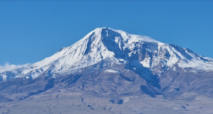
Mount Ararat, which is the highest peak in Turkey at 5,137 meters, is an extinct volcano. Located on the Eastern Anatolian Volcanic Plateau, this mountain stands at the crossroads of Turkey, Iran, and Armenia. To the north, there is the Iğdır Plain at an elevation of 840 meters, while to the south, there is the Doğubeyazıt Plain at 1,640 meters. In the southeast, the extinct volcano called Little Ararat, with a height of 3,896 meters, rises. Between Mount Ararat and Little Ararat, there is the Serdar Bulağı Plateau. This lava plateau, which connects the two extinct volcanic mountains, is at an altitude of 2,600 meters.
Both Mount Ararat and Little Ararat have a magnificent appearance. They cover an area of 1,188 square kilometers, with a summit that has a flat area of 160 meters and is covered with ice year-round. In the Hebrew language of the Urartians and in Western languages, the name of Mount Ağrı is mentioned as ‘Ararat.
Climbing Mount Ararat
Mount Ararat, the highest peak in Anatolia and Europe, attracts the attention of mountaineers worldwide. The most suitable time to climb Mount Ararat is in July, August, and September. For winter climbing, February is the best month.
1 – Climbing from the southern slope: The ascent from the village of Top Çatan in Doğubeyazıt.
2 – Climbing from the eastern side: Ascending from the Serdarbulak Plateau, located between Mount Ararat and Little Ararat, in the Iğdır-Aralık district.
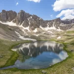
3 – Climbing from the western side: Starting from the village of Örtülü Köyü Küp Gölü within the Iğdır province’s borders.
Here we are, how many days does it take to climb Mount Ararat?
You can read our article for the answer to the question. Please Click


