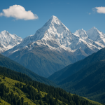
Mount Mamostong Kangri: India’s Peak in the Karakoram
Mamostong Kangri, with an elevation of 7,516 meters (24,659 feet), is the highest peak in the Rimo Muztagh, a subrange of the eastern Karakoram. It is located in the northernmost region of Ladakh, India, near the Siachen Glacier and close to the disputed Indo-China and Indo-Pakistan borders. Due to its remote geographical location and proximity to military-sensitive areas, the mountain remains largely inaccessible to civilian climbers, and is one of India’s least-attempted high-altitude peaks. Mount Mamostong Kangri: India’s Peak in the Karakoram.
Geographical Context
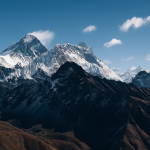
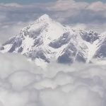
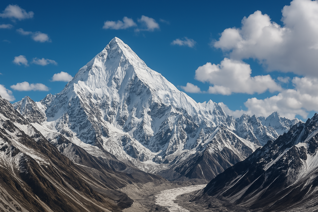
Mamostong Kangri lies approximately 30 kilometers east of the Siachen Glacier and is part of a series of rugged, heavily glaciated peaks in the Rimo Muztagh. It is surrounded by multiple glaciers, including the South Chong Kumdan Glacier, Kichik Kumdan Glacier, and Thangman Glacier, making approach routes highly challenging. The terrain consists of steep ice and rock faces, snow-covered ridgelines, and wide crevassed glacier fields. The peak is not visible from any major settlement, and reaching its base typically requires multi-day expeditions through uninhabited high-altitude terrain.
Climbing History
The first successful ascent of Mamostong Kangri was made in 1984 by an Indo-Japanese expedition, marking one of the few documented climbs of the peak. Since then, very few expeditions have attempted the mountain, mainly due to its location in a geopolitically sensitive zone and the technical nature of the climb. Climbing records remain sparse, and no commercial climbing operations currently service the area due to restricted access and lack of infrastructure.
Route Characteristics and Technical Difficulty
Climbing Mamostong Kangri involves significant technical mountaineering challenges. The standard approach route follows the South Chong Kumdan Glacier, navigating across wide crevasses and unstable snowfields. From base camp, climbers must ascend steep snow and ice slopes that require proficiency in ice axe and crampon techniques. The higher sections include exposed ridgelines with sharp cornices and a risk of avalanches, especially after fresh snowfall or strong winds.
Climbers are required to carry and manage technical gear, including fixed ropes, ice screws, snow anchors, and glacier travel equipment. Due to the isolation, self-sufficiency is critical, and teams must be prepared for a complete lack of rescue options. Weather conditions are highly unpredictable, with high winds, whiteouts, and sudden temperature drops common throughout the year. The best climbing window is typically late June to early September, although even during this period, stable weather is not guaranteed.
Logistical Considerations
Access to Mamostong Kangri is limited not only by terrain but also by military and administrative restrictions. Special permits are required from Indian authorities, including clearance from the Ministry of Defence, as the region falls under high-security surveillance due to its proximity to the Line of Actual Control (LAC). There are no nearby roads or supply stations, so expeditions must rely on animal transport and human porters for carrying equipment and provisions during the approach.
Due to the absence of rescue infrastructure, satellite communication devices are highly recommended. Teams must also carry medical supplies for high-altitude complications such as acute mountain sickness (AMS), high-altitude cerebral edema (HACE), and high-altitude pulmonary edema (HAPE). Altitude acclimatization schedules must be meticulously planned to prevent health issues in this extreme environment.
Scientific and Strategic Importance
While rarely climbed, Mamostong Kangri is of interest to geographers, glaciologists, and climatologists due to its location within a complex network of glaciers. The surrounding glaciers feed into critical river systems and have implications for water availability downstream. The peak also holds strategic military value due to its elevation and visibility over border zones.
Conclusion
Mamostong Kangri stands as one of the most remote, technically demanding, and restricted peaks in India. Its inaccessibility, coupled with extreme weather and lack of infrastructure, makes it a target only for elite-level mountaineers with significant logistical capability and high-altitude experience. Despite its low visibility in mountaineering literature, Mamostong Kangri remains a peak of high geographical, technical, and strategic relevance within the Indian Himalayas.
Where is Mamostong Kangri located?
Mamostong Kangri is located in the Rimo Muztagh, a subrange of the eastern Karakoram in the northernmost part of Ladakh, India. It lies near the Siachen Glacier and close to the borders with China and Pakistan.
What is the elevation of Mamostong Kangri?
The mountain stands at an elevation of 7,516 meters (24,659 feet), making it the highest peak in the Rimo Muztagh subrange and one of the highest mountains entirely within Indian-administered territory.
Has Mamostong Kangri been climbed?
Yes. The first successful ascent of Mamostong Kangri was made in 1984 by a joint Indo-Japanese expedition. Since then, the mountain has seen very few climbing attempts due to its remote and restricted location.
Is climbing Mamostong Kangri open to the public?
Access is highly restricted due to the peak’s proximity to military-sensitive areas near the Indo-China and Indo-Pakistan borders. Special permits from Indian defense and government authorities are required.
What are the main climbing challenges?
Climbers face steep glaciers, crevassed terrain, high avalanche risk, unpredictable weather, and logistical complexity. The mountain requires advanced mountaineering skills and self-sufficiency.
What is the standard route to climb Mamostong Kangri?
The standard route generally follows the South Chong Kumdan Glacier, involving glacier travel, steep ice slopes, and exposed ridgelines. Few route details are publicly available due to limited expeditions.
What is the best time to attempt a climb?
The optimal climbing season is between late June and early September, when weather conditions are relatively more stable. However, weather in the region remains highly unpredictable year-round.
Are there any nearby support facilities?
No. There are no roads, villages, or base camps in the immediate area. All supplies and equipment must be carried in by trekking teams using porters or pack animals.
Why is Mamostong Kangri significant despite being rarely climbed?
Besides its high altitude, Mamostong Kangri is strategically and scientifically important. It lies within a glacial network vital to the region’s hydrology and is a subject of interest for climate and glaciological studies.
Can Mamostong Kangri be part of a commercial expedition?
Currently, no commercial expeditions operate to Mamostong Kangri due to security restrictions and lack of infrastructure. It is considered suitable only for highly experienced and self-reliant expedition teams.